The Havengore Route
Havengore Creek provides a route between the Thames Estuary and the rivers
Roach and Crouch, without the need to go East around the Maplin Sands and
Foulness island - a saving of some 15-20 miles. It has been used for centuries
by coastal vessels, notably the East coast sailing barges. It is, however, only
suitable for shoal draft boats and experienced skippers. In strong winds with a
southerly element, this route is not a good idea; but in the right circumstances
it is an interesting and time-saving route.
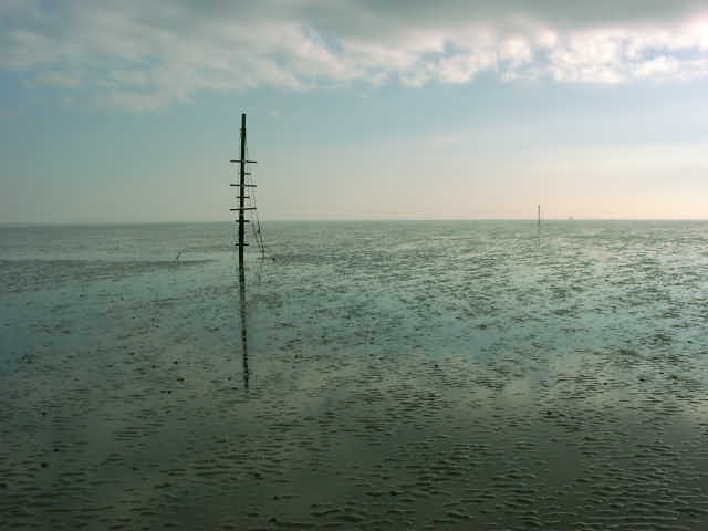
The Maplin sands, which must be crossed to access the creek, are a Ministry
of Defence firing range. Refer to the notes on your chart or pilot for current
details of flags and signals. Most boats crossing from the Thames go
between the artificial island (near S. Shoebury buoy) and the Blacktail West
post. On this route there are a number of large posts which were presumably once
intended to be a guide to the best water. There is at least one marked wreck
near the route, and may be other unmarked obstructions from time to time. Those
with local knowledge sometimes cut across the sands from the Inner Shoebury
beacon.
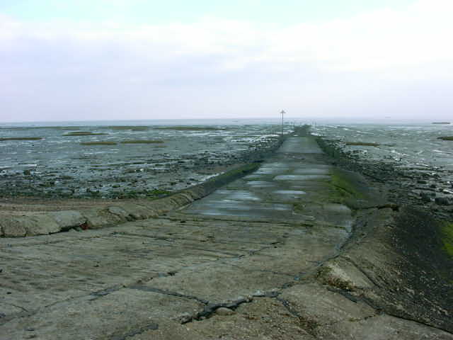
The Broomway, an old road which is still a public right of way, crosses the
sands about half a mile from, and parallel with, the sea wall. The road is
indiscernible from the surrounding sand in most places, apart from an occasional
short post, so it does not obstruct navigation. However there is a sand bar
across the creek entrance itself, rising a metre or so above the surrounding
sands. There are channels through this bar, and one is normally marked by red &
green steel withies. The best water channel inside the bar is to the centre of
the creek, favouring the NE side.
In a number of places near the sea walls are metal obstructions which are to
be avoided.
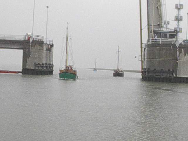
In the creek entrance is the Havengore Bridge, a lifting bascule type,
operated by the MOD. Unless the ranges are in use, the bridge is normally manned
1-2 hours each side of high water during daylight hours. Vessels intending to
use the creek should contact the bridgekeeper on VHF 72 (callsign "shoe bridge")
. On a number of occasions in recent years,
the bridge has been out of action, so it's a good idea to check. The bridge
keeper usually notes the name of each vessel passing through.
Just inside the bridge, the way divides on two sides of Rushey Island. The
southern way is rather shallow, so most vessels take the Narrow Cuts which is
marked with withies. Opposite the end of the Narrow Cuts is Potton Island; the
route North from here runs directly to the Roach. The southern route round
Potton is more tortuous and shallow, but leads through a swing bridge to the
Roach above Paglesham, and to Barling.
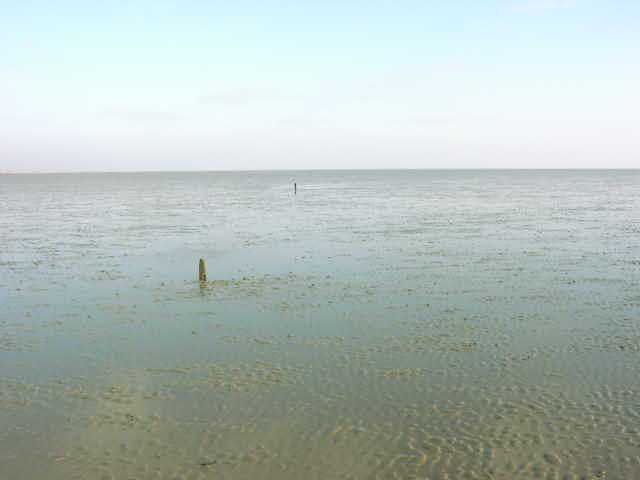
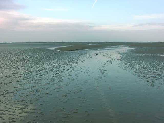
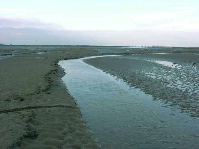
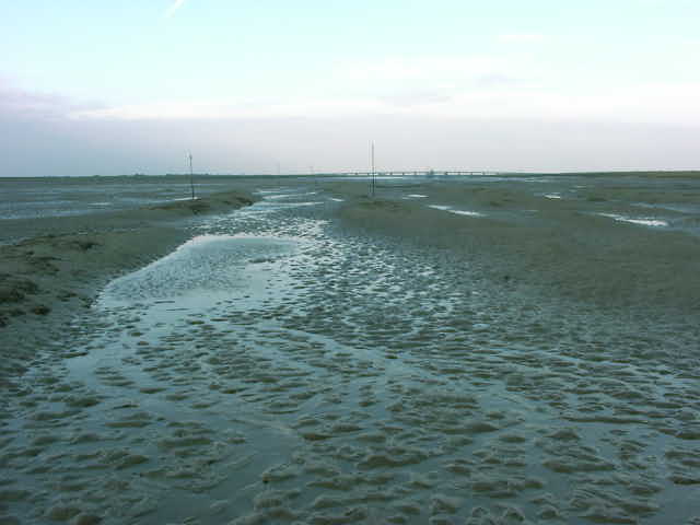
The pictures below were taken at low water in January 2005.
Any skipper considering this route needs to use an up to date chart showing
the creeks of the Roach as well as the Thames estuary. A pilot book such as East
Coast Rivers by Janet Harber, and the companion volume of aerial photographs is
most useful.
The information given here should not be used as pilotage. Both the sands and
the marks are susceptible to change, as is the management of the bridge and
channel, so seek the latest information before using the Havengore route.
© Roach Area Fairways
& Conservation Committee, 2005